
safe routes For youth in westwood
Westwood is a diverse and low-income neighborhood in Denver, one of its most pressing community issues is mobility safety, for both pedestrians and cyclists. The Westwood Unidos organization aims to provide neighborhood youth with safe access to recently improved services such as parks. Currently, students have limited access to information and knowledge about the safest routes to get between schools and parks. This project assesses the most reliable roads through a combination of community mapping with schoolchildren and families, spatial analysis of existing data, and evaluation of current infrastructure projects, to provide an easily accessible map of the safest routes from schools to parks. Mobility safety mapping can be a valuable tool to emulate in similarly challenged communities in Denver and the US.
To see full report click

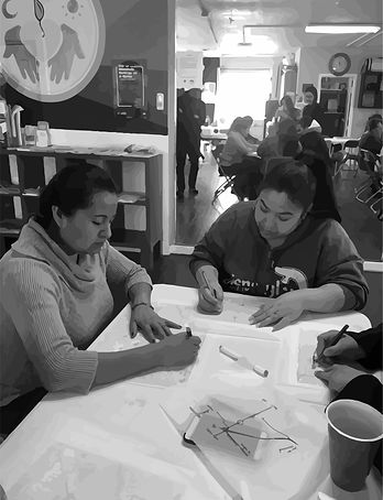
Community Meetings

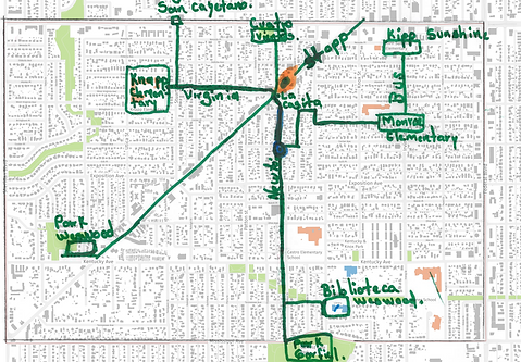
Maps created by the community

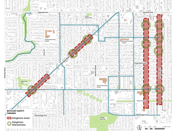
Mobility Analisis


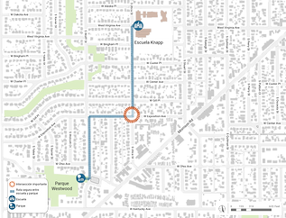
Safe Routes to schools


Safe Routes from schools to parks in the Westwood Neighborhood
